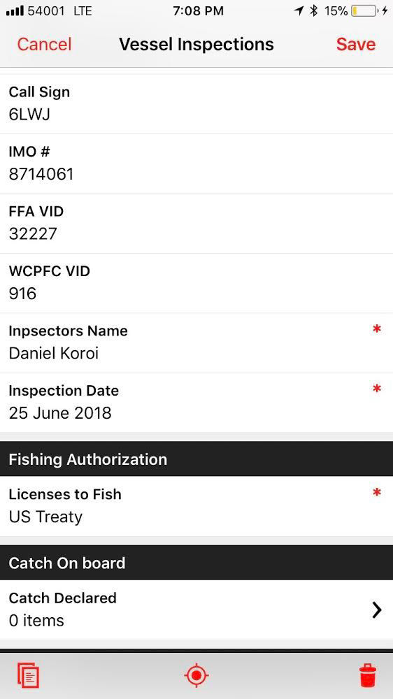
Use your mobile phone to conduct vessel inspections on fisheries vessels that are in port.
PHOTOS & GPS
Photos and GPS locations can also be taken and the data is synced directly to the cloud when the mobile phone is in range of an internet connection.
OFFLINE & CLOUD SYNC
This mobile application works offline and the data is then synced to the cloud when an internet connection is established.
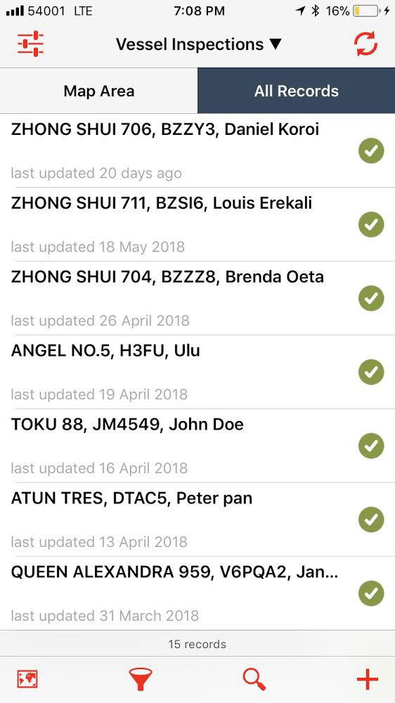
The application can be used by multiple MCS Officers offline to manage information about vessel inspections.
Once this data is synced to the cloud, other MCS Officers can sync the inpections data into their own mobile phones or back at the office on their desktop computers. That way all officers have a holistic view of the inspections that are going on in near real-time.
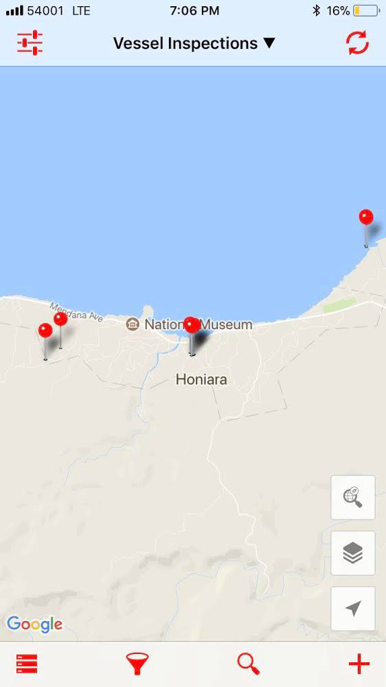
The use of GPS location the mobile application helps MCS managers and analysts track where each inspection was carried out.
This is then plotted on a map so you know exactly when and where an inspection was carried out, who carried it out and what did they carry it out on.
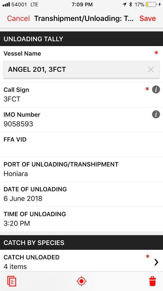
Use the application to tally the catch coming off vessels in port by species, date, weight, tally etc.
Photos and GPS locations can also be taken and the data is synced directly to the cloud when the mobile phone is in range of an internet connection.
Each unloading OR transhipment event in port is linked to the Port Entry ID generated when the vessel was requesting to enter port.